從開普角的停車場你可以選擇搭乘Flying Dutchman索道纜車到山頭上的舊燈塔參觀,Flying Dutchman纜車,也被稱為Cape Point索道纜車,是被認為在非洲唯一的商用纜車,它的名字來自當地傳說中的Flying Dutchman幽靈船。

纜車每三分鐘從上下站對開出發,每輛車可容納40名乘客,每小時可以將450人運送到上部燈塔,使其成為在高峰時間更接近燈塔的理想方式。
開普角這裡有著新、舊兩座燈塔。在海拔262米高的開普角原始燈塔建於1859年。由於位置不佳,會誤導船隻過早靠岸而觸礁,因而在1914年於另一處海拔只有87米高較低的岬角(Dias Point)建設另一座燈塔,新燈塔不能讓在開普角西邊的船隻看到,直到船隻行駛至岬角南方安全的距離才見到燈光,以免過早靠岸轉向。燈塔其閃光距離為63英里(101公里; 55海裡),強度為10兆瓦。

在老燈塔的前方還有一個木桿,木桿上有幾塊指向不同方向的標誌牌,上面寫著這裡距離世界各地各大城市的距離。

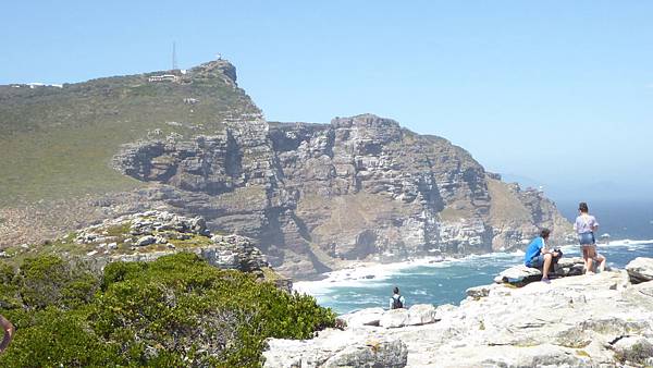
憑欄而往西看,入眼的另一個岬角就是真正的好望角。

好望角地勢較開普角低,只是一個突出的小山岬,今天天氣很好,可以看到湛藍的天空及深藍的海水。

這兩岬角之間距離不遠,我們在領隊帶領下步行約半個小時,

成立於1939年,佔地7,750公頃的好望角自然保護區是位於開普敦半島南部,其海岸線綿延40多公里,著名的Cape of Good Hope 和Cape Point 就座落在這個保護區內。

印度洋跟大西洋是在好望角跟Cape Agulhas中間的那一大片水域融合。


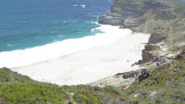
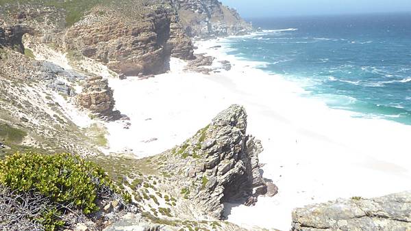
在好望角山頭上休息一陣子後就下坡到Dias Beach。

從開普角到好望角及Dias Beach 強烈建議您不要帶食物,原因是這裡的狒狒非常強大而無所畏懼,千萬不要試圖在他們跳上背包或抓住攜帶的東西時將它們擊退。

以前在台灣教科書都說好望角為非洲最南端,其實非洲南端是Cape Agulhas,位於Cape Point Nature Reserve東邊約100公里。

在好望角附近的海灘到處是亂石,有很多鳥類在此憩息。

非洲西南端的天氣非常不穩定,在海中游泳或岸邊玩水是危險的,沒有救生員或其他泳客可在需要時提供幫助。

人員到齊各坐各位。

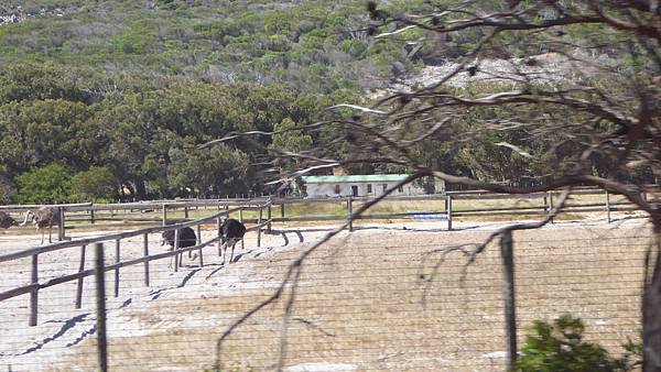
回程有看到鴕鳥農場。


 留言列表
留言列表
 {{ article.title }}